Showing posts with label Extension. Show all posts

16 November 2025

Heo/Geo Lecture Series 2025-11: Mylene De Guzman on pedagogy-based service learning in geography

Extension work and services in the academic setting can engender multiple approaches, not to mention definitions that hover around 'outreach', 'town-gown relations' and the provision of 'human capital-enhancing inputs' as Anderson and Feder prefer to call it (2003, 2). 

Like most academic units in the UP System, the Department of Geography of UP Diliman provides extension services to its multiple publics. Mobilizing specific undergraduate and graduate courses, the extent of the Department's various partnerships with local communities result in a range of field-based undertakings. From capacity-building skills rooted in geographic technologies and methods to the co-production of specific and particular outputs deemed important by the communities, the Department learned various (geography) lessons that not only recognize that the ever-shifting priorities of communities require reflexive innovations, but also in maintaining and sustaining multi-scalar relations.

For the month of November, the focus of the Heo/Geo Lecture Series is in presenting a version of the Department of Geography's model (if you will) of service learning culled from several years of grounded pedagogy-based engagements with local communities as well as public and private organizations. Mylene De Guzman, a member of the faculty of the UP Diliman Department of Geography will present Geography Beyond the Classroom: Service Learning as Pedagogy on Friday, 21 November 2025 at 5:30PM via Zoom.


The presentation highlights the processes and reflections of service-learning activities of the Department from 1995 to 2024. Service-learning combines classroom instruction with community service and is a vital component of several courses offered in the B.S. Geography curriculum. Service-Learning in Geography (SLG) courses enable students to acquire practical work experience using techniques, knowledge, and ideas learned as geography students while serving various publics. Fieldwork is an essential part of conducting geographic research, and the SLG courses are designed to train students in conducting fieldwork and collecting and analyzing empirical data using geographic theories, concepts, analytical techniques, and methods. The presentation examines the incorporation of service-learning into the undergraduate and graduate curricula, reflects on the challenges that faculty handlers have faced, and charts novel ways of conducting geographic research that incorporates service-learning in Philippine higher education. 

This presentation is an excerpt of a joint publication of nine faculty members of UPD Geography titled 'Integrating Service Learning in Geography in Philippine Higher Education' which came out in the Winter 2024 issue of the Pennsylvania Geographer. SLG not only fulfills the university’s mandate as a public service university, as stated in the UP Charter of 2008 (Republic Act No. 9500) but also serves as a reflexive examination of the collaborations and partnerships between Geography as an academic unit and as "a step towards addressing ... social concerns by applying learned skills and knowledge to benefit local communities" (De Guzman et al, 2024, 2).

Dr Mylene De Guzman is an Assistant Professor in the UPD Department of Geography. Her research interests span labor geographies, lesbian geographies, risk perception, geonarratives, digital geographies, and geographic education and pedagogy. Dr De Guzman’s research employs the aca-fan lenses in studying K-Pop acts both as an analytical and reflexive frame in relation to moving image, geographies of music, spectatorship, and positionality.  She is currently the Vice President for Internals and Memberships of the Philippine Geographical Society (PGS) and an active member of the American Association of Geographers (AAG). She is currently serving as the Managing Editor of the Korean Social Science Journal (KSSJ), the official journal of the Korean Social Science Research Council (KOSSREC). But more than these academic commitments, she cares and serves two senior cats: Coco and Pepper.

As in previous iterations, the Heo/Geo Lecture Series is a monthly resource talk / lecture given by academic geographers, geography-adjacent scholars, practitioners working in geospatial industries, and partners that engaged in multiple publics, and based locally and abroad. The talk ranges from the sharing of research findings to pedagogical practices and field-based experiences. 

Dr De Guzman's lecture is co-organised by the UP Department of Geography and the Philippine Geographical Society. It is also presented by the Human Geography (HUG), Geographies of Disaster and Hazards (GEDI), Environment and Development Geographies (EDGE), Media, Literary Geographies and Geohumanites (MELANGE), and the Geographic Information Systems and Techniques (GIST) research groups of the UP Department of Geography and is in line with the SDG #4 (Quality Education), #10 (Reduced Inequalities), #3 (Good Health and Well Being), #15 (Life on Land) and #13 (Climate Action) of the United Nations.

To virtually attend the talk, please click this link to participate: https://tinyurl.com/4y4f752k

*Notes

While the members of the faculty constantly review, evaluate and reflect on the conduct of each class with an SLG component, one of the Department's SLG courses  -- the Geography Field School [Geography 192 (Field Methods in Geography)] -- has received the following recognition both in UP System and UP Diliman: 2017 Gawad Pangulo Award for  Excellence in Public Services, and 2016 Best Extension Program of Degree Granting Units. 

*Citations

Anderson, J.R. and Feder, G. (2003). Rural extension services. Policy Research, Working Paper 2976. World Bank: The Agriculture and Rural Development Program and Development Research Group.

De Guzman, M., Martinez, M.S., Garcia, E., Palis, J., Anacta, V.J., Cadag, J.R., Amorsolo, D.S., Ocampo, L.A. and Gutierrez, D. (2024). Service Learning in Geography in Philippine Higher Education, Pennsylvania Geographer, Volume 62, No. 2 - Fall/Winter 2024, 1-22.


25 January 2025

Heo/Geo Lecture Series 2025-01: Ony Martinez on place-based realities of community-engaged mapping

Consultation, collaboration, outreach and shared leadership are some of the key words/terms that characterise the works of community-engaged geographers involved in participatory mapping practices and advocacies.

Community-engaged learning emphasizes collaboration and participation to achieve mutually beneficial outcomes for both students and community partners. By connecting concepts with real-world applications, this approach enables students to actively contribute to solving local challenges while developing critical thinking, problem-solving, and collaboration skills. It facilitates the connection between higher education and local communities by fostering community awareness and encouraging the involvement of students in addressing pressing local issues.

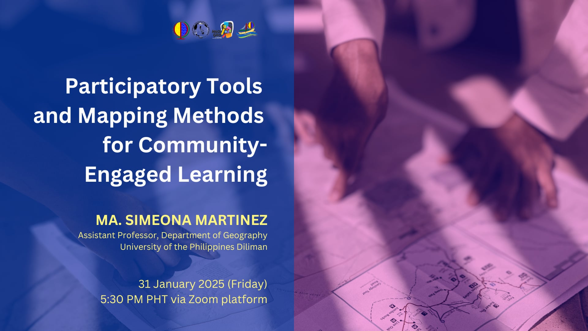
For the first Heo/Geo lecture for 2025, the Philippine Geographical Society (PGS) and the UP Department of Geography through its Geographic Information Systems and Techniques (GIST) research group, cordially invite you to a lecture of UPD Geography faculty Ma. Simeona Martinez titled Participatory Tools and Mapping Methods for Community-Engaged Learning. This online talk will be on Friday, the 31st of January 2025 at 5:30 in the afternoon. 


In Ony Martinez's community-engaged research, mapping and spatial tools contribute to place-based learning by enabling students and communities to visualize places at various scales and explore the distribution of spatial features such as infrastructure or resources in relation to potentials and risks in their locality and surrounding areas. In effect, spatial tools help educators and students bridge the gap between abstract knowledge and community realities. Similarly, maps serve as essential resources for community members to identify challenges and devise strategies to address these issues collaboratively. 

This lecture introduces practical tools and participatory mapping methods that educators can integrate into their teaching practices to promote collaborative and experiential learning. These methods, traditionally used for community appraisal, mobilization, and planning, facilitate working with communities in documenting community assets and in addressing spatial issues in a collective and engaging way, where students co-produce meaningful outputs in partnership with community members and support organizations. Through participatory mapping, students and communities can collaboratively document assets and analyze community issues. Drawing on both literature and personal experience, the presentation will reflect on the contextuality of place, forms of participation, and the role spatial technologies in fostering critical place-based and community-oriented learning.

Prof Ony Martinez teaches mapping methods and the use of Geographic Information Systems for collaborative research in diverse areas such as hazard and disaster risk reduction, land cover change, and development planning. She also develops learning modules on digital cartography and basic techniques in analyzing and interpreting remotely-sensed imagery. She is co-convenor of the Program on Alternative Development in the University of the Philippines Center for Integrative and Development Studies (UP CIDS- AltDev) and a member of the core research team of Counter-mapping PH Network.

The talk given by Ony Martinez is the 85th lecture since the Department of Geography re-instituted (and subsequently rebranded the Geography Colloquium into the Heo/Geo Lecture Series) a space that invites academics, civil society, community and industry practitioners to share their research, advocacy, and technology-knowledge to geography students, faculty and staff. Prof Martinez's talk fits most of the 17 Sustainable Development Goals (SDGs) by United Nations Sustainable Development, but especially #10 (Reduced Inequalities) and #11 (Sustainable Cities and Communities). 

To participate in the talk, please register through this link: https://tinyurl.com/54zf2uwd


04 December 2018

UP Padayon selects Tinio as Public Service Writing Fellow


Asst. Prof. Marion Micah Tinio has been selected as a Public Service Writing Fellow by the UP Padayon. The Public Service Writing Fellowship is on its second year.

UP Padayon selected eight fellows from constituent units of the UP System to promote the publication of public service initiatives undertaken by faculty and REPS. These fellows participated in a writeshop in November 8 and 9 to hone their research and writing skills. 

Asst. Prof. Tinio is a Licensed Environmental Planner teaching courses in land use and movement. He will be writing about the technical assistance provided by a team composed of faculty members of the Department of Geography and School of Urban and Regional Planning to the Municipality of Tiwi. The technical assistance was for the updating of the Comprehensive Land Use Plan and Local Development Investment Plan of the Municipality. The project was funded partially through an extension grant from UP Diliman

Photo by Bong Arboleda, UP MPRO

Read more about UP Padayon's Public Service Fellowship writeshop here: https://www.up.edu.ph/index.php/public-service-writing-fellows-undergo-workshop/

06 September 2018

UPD Geography Participates in CDRA Seminar


By Jake Cadag

Faculty members and alumni of the UP Department of Geography participated in a one-day seminar on Climate Disaster Risk Assessment (CDRA) on September 5, 2018 at the Office of the Department of the Interior and Local Government - National Capital Region (DILG-NCR) in Quezon City.

The CDRA seminar was facilitated by DILG-NCR in partnership with the Catholic Relief Services (CRS). The UP Department of Geography participated in the event in continuation of its existing collaboration with CRS in the area of disaster risk reduction and management (DRRM).

In May and June 2018, the UP Department of Geography assisted CRS in generating useful data for assessing risk (i.e. building footprints, hazard maps and risk maps, among others) in its partner communities and local government units in the Province of Rizal. The June 2018 engagement was part of the Department's midyear service-learning fieldwork.

Also present in the seminar were members of the UP Resilience Institute and representatives from dioceses of Rizal and Bulacan.

01 January 2018

UPD Geography Receives 2017 Gawad Pangulo for Excellence in Public Services


The Department of Geography received the 2017 Gawad Pangulo Award for  Excellence in Public Services. The Award seeks to recognize outstanding public service initiatives of various units of the UP System that exhibit compassion (malasakit) to different publics.

The Department continually undertakes extension activities, especially as part of its Midyear Term course Geography 192: Field Methods in Geography. For more information on past projects, click here.