
In today’s data-driven world, it is evident that GIS has become even more a vital tool for visualizing and analyzing spatial data, solving real-world problems, and making informed decisions. From managing infrastructure to tracking environmental changes, monitoring utilities, and enhancing public safety, GIS has proven its value across industries.
The Heo/Geo Lecture Series in cooperation with the UP Department of Geography and the Philippine Geographical Society (PGS) presents a talk from Hanna Camille Aguilon. The talk titled Teaching the Tools: Empowering Professionals through GIS Technology will happen on Friday, 18 July 2025 at 5:30PM via Zoom.
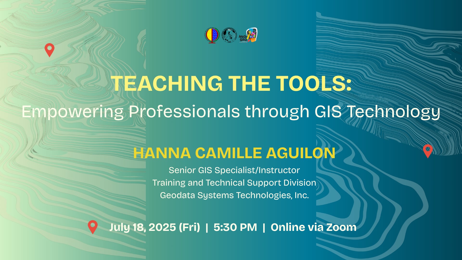
As a GIS instructor working with professionals from diverse backgrounds and technical abilities, Hanna's role extends beyond simply teaching software features and capabilities, it also involves making these tools relevant and useful in their field of work. It involves translating complex GIS concepts into practical applications and tailoring content to meet the specific needs and goals of professionals working in real-world environments.
Hanna Camille G. Aguilon is a Senior GIS Specialist/Instructor under the Training and Technical Support Division of Geodata Systems Technologies, Inc. She is a graduate of Bachelor of Science in Geography from the University of the Philippines Diliman. As an instructor, she conducts introductory and advanced ArcGIS Online, ArcGIS Pro, and ArcGIS Enterprise courses for clients from different industries. She has also been involved in multiple GIS projects for different governmental and non-governmental organizations.

The Heo/Geo Lecture Series in its rebranded form aims to bring together academic geographers, geography-minded scholars, GIS industry professionals, and members of the community to share their knowledge in a broad spectrum of geography-related concerns, be it research in higher education, skills training from industry professionals in geospatial technology, or community-led advocacies that involve peoples and collectives to engage in endeavors to ultimately bring about social and spatial justice. Hanna's lecture is one in a series of Heo/Geo's initiatives to involve Geography alumni in enriching the technical knowledges and skills of the Department's students, faculty and staff through lecture and hands-on training.
This Heo/Geo Lecture is facilitated through the Geographic Information Systems and Techniques (GIST) research cluster under the UP Department of Geography and is in line with the Sustainable Development Goals #9 (Industry, Innovation, Infrastructure) and #15 (Life on Land) of the United Nations Sustainable Development.
To participate in the talk, register through this link: https://tinyurl.com/4er522tj

