
Consultation, collaboration, outreach and shared leadership are some of the key words/terms that characterise the works of community-engaged geographers involved in participatory mapping practices and advocacies.
Community-engaged learning emphasizes collaboration and participation to achieve mutually beneficial outcomes for both students and community partners. By connecting concepts with real-world applications, this approach enables students to actively contribute to solving local challenges while developing critical thinking, problem-solving, and collaboration skills. It facilitates the connection between higher education and local communities by fostering community awareness and encouraging the involvement of students in addressing pressing local issues.
For the first Heo/Geo lecture for 2025, the Philippine Geographical Society (PGS) and the UP Department of Geography through its Geographic Information Systems and Techniques (GIST) research group, cordially invite you to a lecture of UPD Geography faculty Ma. Simeona Martinez titled Participatory Tools and Mapping Methods for Community-Engaged Learning. This online talk will be on Friday, the 31st of January 2025 at 5:30 in the afternoon.
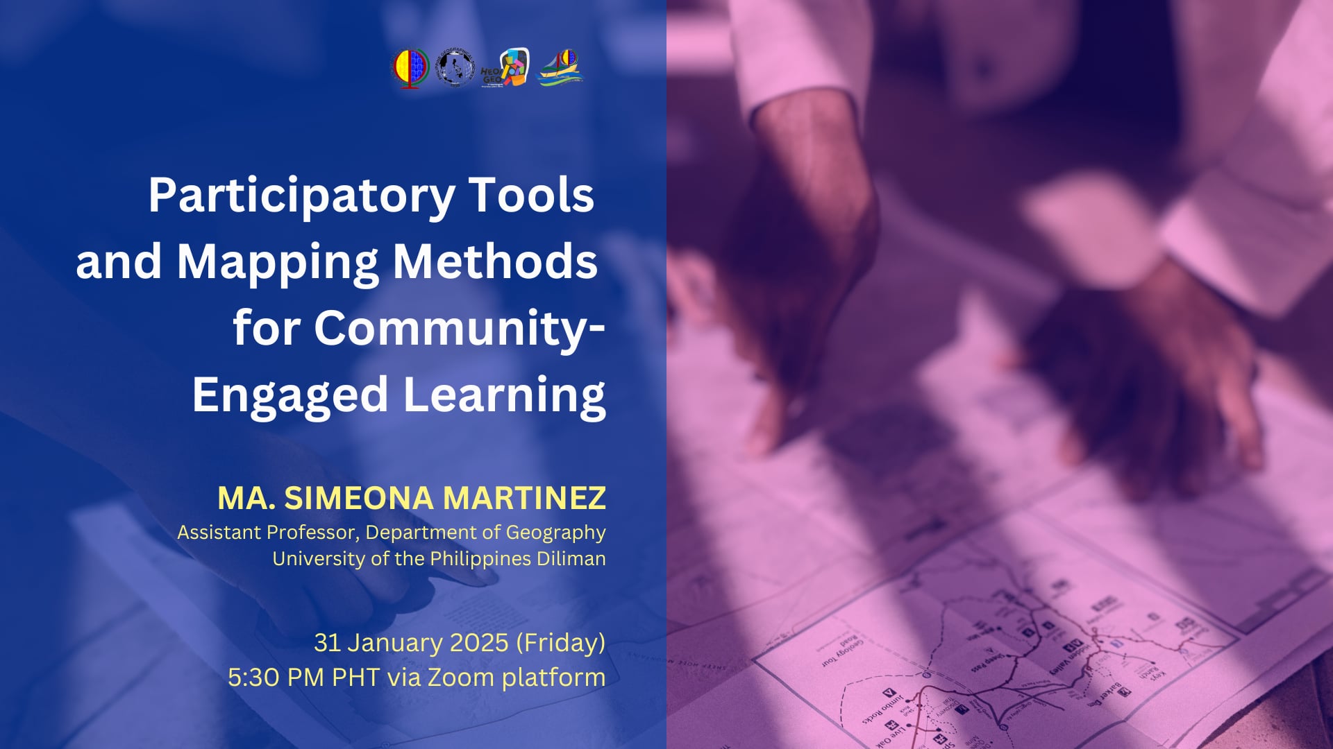
In Ony Martinez's community-engaged research, mapping and spatial tools contribute to place-based learning by enabling students and communities to visualize places at various scales and explore the distribution of spatial features such as infrastructure or resources in relation to potentials and risks in their locality and surrounding areas. In effect, spatial tools help educators and students bridge the gap between abstract knowledge and community realities. Similarly, maps serve as essential resources for community members to identify challenges and devise strategies to address these issues collaboratively.
This lecture introduces practical tools and participatory mapping methods that educators can integrate into their teaching practices to promote collaborative and experiential learning. These methods, traditionally used for community appraisal, mobilization, and planning, facilitate working with communities in documenting community assets and in addressing spatial issues in a collective and engaging way, where students co-produce meaningful outputs in partnership with community members and support organizations. Through participatory mapping, students and communities can collaboratively document assets and analyze community issues. Drawing on both literature and personal experience, the presentation will reflect on the contextuality of place, forms of participation, and the role spatial technologies in fostering critical place-based and community-oriented learning.
Prof Ony Martinez teaches mapping methods and the use of Geographic Information Systems for collaborative research in diverse areas such as hazard and disaster risk reduction, land cover change, and development planning. She also develops learning modules on digital cartography and basic techniques in analyzing and interpreting remotely-sensed imagery. She is co-convenor of the Program on Alternative Development in the University of the Philippines Center for Integrative and Development Studies (UP CIDS- AltDev) and a member of the core research team of Counter-mapping PH Network.
The talk given by Ony Martinez is the 85th lecture since the Department of Geography re-instituted (and subsequently rebranded the Geography Colloquium into the Heo/Geo Lecture Series) a space that invites academics, civil society, community and industry practitioners to share their research, advocacy, and technology-knowledge to geography students, faculty and staff. Prof Martinez's talk fits most of the 17 Sustainable Development Goals (SDGs) by United Nations Sustainable Development, but especially #10 (Reduced Inequalities) and #11 (Sustainable Cities and Communities).
To participate in the talk, please register through this link: https://tinyurl.com/54zf2uwd


