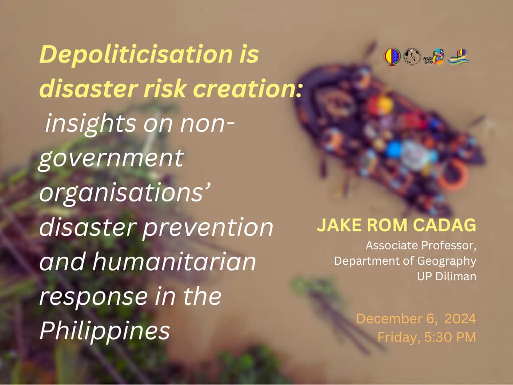
05 December 2024
Heo/Geo Lecture Series 2024-12: Jake Cadag on DRR depoliticisation
24 August 2024
Heo/Geo Lecture Series 2024-08: Vanessa Joy Anacta on mapping different terrains and learned environments
In a paper delivered for the Asian Conference on the Social Sciences in 2024, geographer Vanessa Joy Anacta posed this question: Can you recall the time you got lost in a new area? From the experience of Hansel and Gretel trying to find their way home to first year students of UP Diliman navigating their complex new environment to locate classrooms, toilets, libraries, and places to eat, way-finding has always been resorted to using different strategies and in varying levels of success.
Finding one's way in an unfamiliar landscape can be challenging not to mention disorienting. Maps, signages, photos, and even guidance from people through gestures and verbal instructions used to be the preferred modality of people in the analogue era. With the advent of technology and the way it mediates our everyday lives, Google maps, OpenStreetMap and other online maps become the default wayfinder, for better or worse.
For the eighth iteration of the Heo/Geo Lecture Series for 2024, Dr Vanessa Joy Anacta will deliver a lecture via Zoom on Friday, 30th of August 2024 at 5:30PM. Co-presented by the Philippine Geographical Society (PGS) and the UP Department of Geography, the talk is entitled Wayfinding on campus: Mapping the familiar and unfamiliar environments, which will draw upon various research projects undertaken by Dr Anacta.
The presentation is divided into two segments. One segment illustrates a quick visualization of the students’ shared spatial knowledge of the UP Diliman campus as demonstrated in the hand-drawn sketch maps. Sketch maps may reveal differences in the acquired spatial knowledge. In an online wayfinding task, participants were asked to follow different types of route instruction. The second segment shows different characteristics of their visualization of the learned environment. The type of environmental layout also affects the participants’ wayfinding performance. The results of these studies have implications for designing navigation systems’ route instructions and visual representation to understand the environment easily.
Dr Anacta is an Assistant Professor of Geography at the University of the Philippines Diliman. Her research interests include cognitive geography, wayfinding, spatial learning, geographic education, participatory mapping, and GIScience. She teaches applications of geographic information systems (GIS) in the social sciences, research methods, behavioral and cognitive geography and spatial cognition. Her most recent article discusses the significant effect of the environmental layout on the participant's performance based on deviations incurred during wayfinding.
The Heo/Geo Lecture Series is a monthly lecture and resource talk where academic geographers, geography-adjacent scholars, practitioners working in geospatial industries, and in communities share their research findings, pedagogical practices, and field-based experiences. Jointly presented by PGS and the UP Geography, the speakers of Heo/Geo are faculty members, alumni and scholars based locally and abroad. This year's Heo/Geo Lecture Series is a continuation of the 40th anniversary celebration (1983-2023) of the Department. Dr Anacta's talk is likewise sponsored by the Geographic Information Systems and Techniques (GIST) research cluster and is in line with the UN Sustainable Development Goals #4 (Quality Education) and #15 (Life on Land).
To join Dr Anacta's talk via Zoom, please register through this link or simply paste this link to your URL: https://tinyurl.com/ya6vufyd
22 November 2023
Pagmamapa sa Kapuluan: Map Story #2 -- the river runs
What are the performative potentials of maps and mapping? Can a more-than-human entity tell its stories?
This is the second showcase of a map from the Pagmamapa sa Kapuluan project in line with the UP Department of Geography's observance of the 40th anniversary. This UP Diliman OICA-funded project aims to showcase a map or series of maps twice a month until March 2024 to show cartographic outputs of geography students, alumni, staff and faculty as a way to historicise various mappings and map-making practices of geographers.
For details, email the Geonarratives Mapping team at geonarrativesph@gmail.com or visit the website: geonarratives.ph
This endeavor is also a joint undertaking of the GIST, GeM and HuG research clusters of the Department.
Pagmamapa sa Kapuluan: Map Stories #1 -- the spooky
Take a look at our first batch of maps in the Geonarratives Mapping website.
https://geonarratives.ph/2023/11/06/map-stories-the-spooky/
Excerpt from the Geonarratives.PH site
"So how do we depict the uncanny, the unseen, the not-quite-there? Based on cartographic data gathered from the Geography 1 classes of Fernand Francis Hermoso, haunted spaces come to life with stories that fascinate precisely because they live in the realm of liminality. For academic year 2016-2017, Hermoso, an assistant professor at the UP Department of Geography challenged his students to capture the spooky and the haunted in UP campus. Data were gathered and obtained from written accounts in books, stories emanating from social media, and interviews of security guards and maintenance personnel who were stationed in these buildings. The triangulation of data was necessary to validate stories told from the ground and engender claims of spectral sightings in buildings.
The data were interpreted using kernel density mapping to create a hotspot or heat map, and which by extension also doubles as a spectral presence."